Configure Now
Varer i handlevognen0
0Varer i handlevognen
Begynn å bygge pakken dinKjøp nå
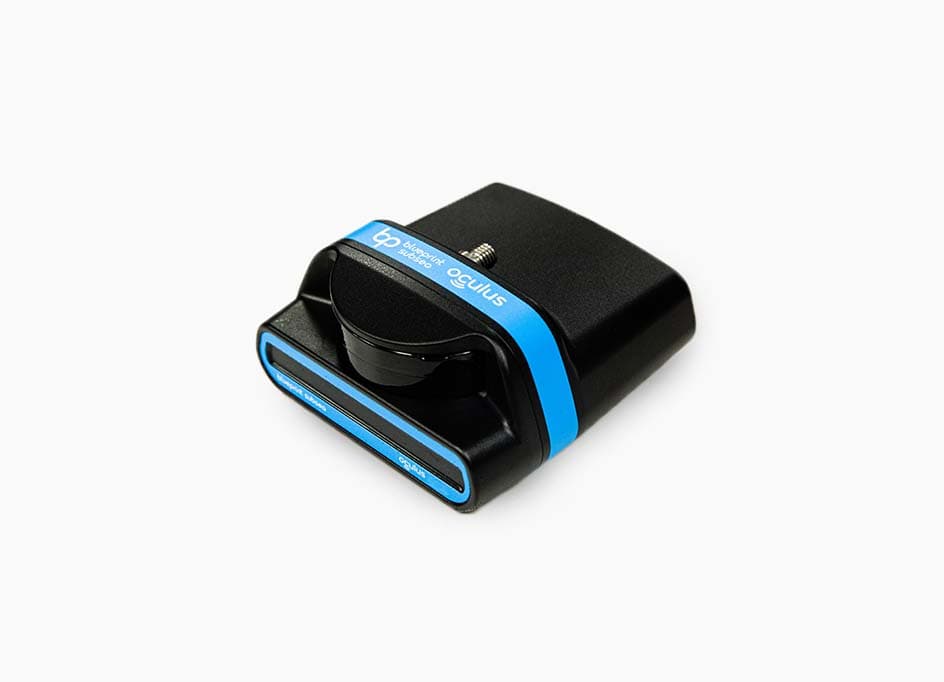
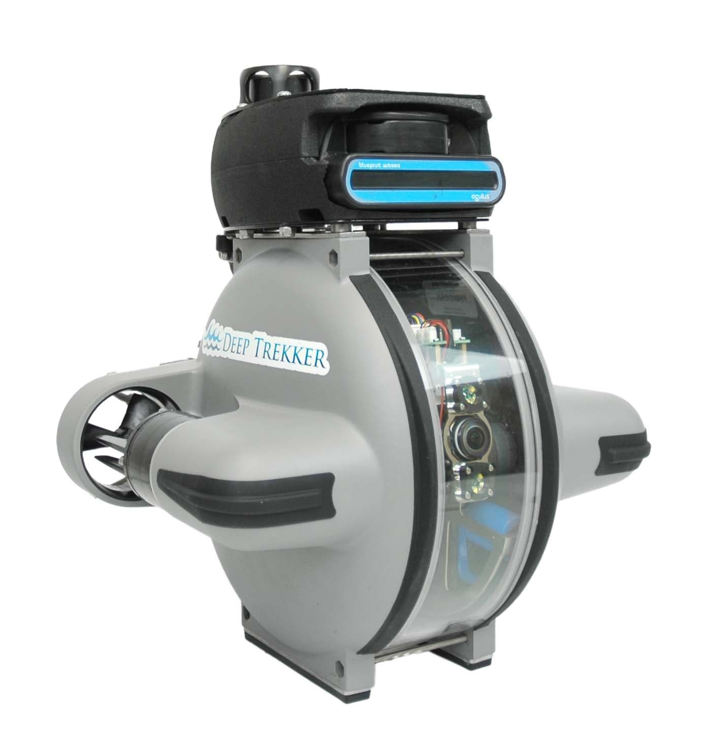
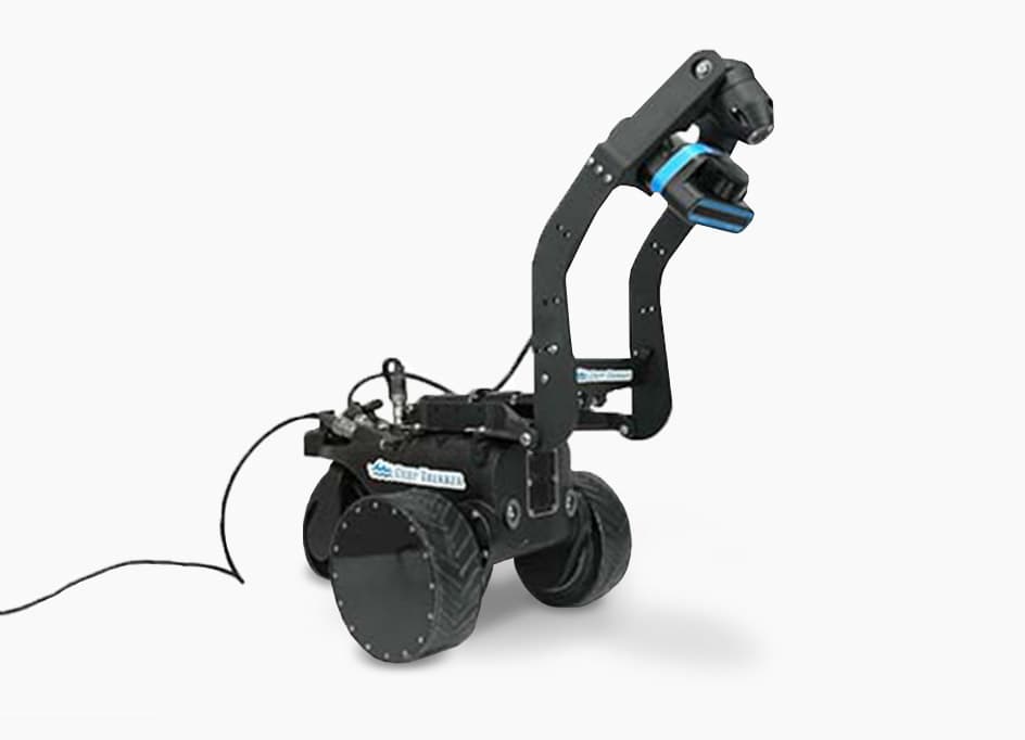
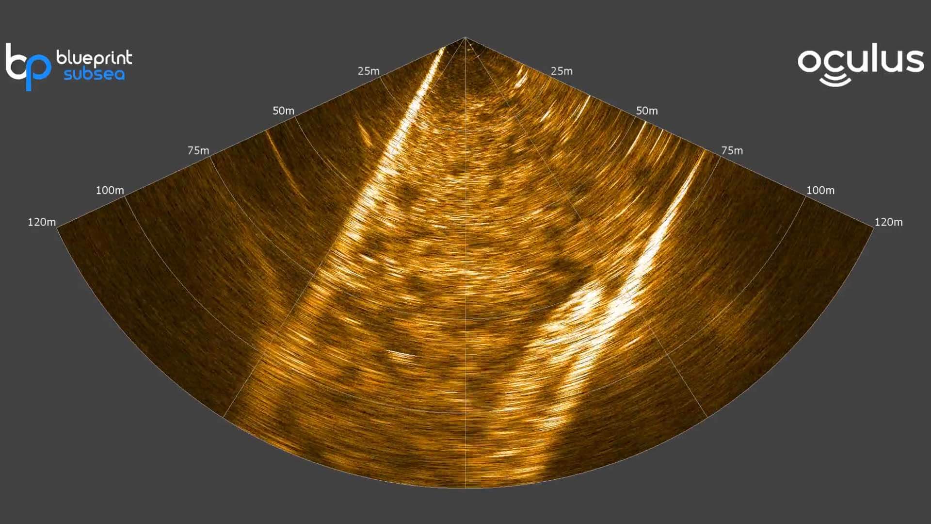
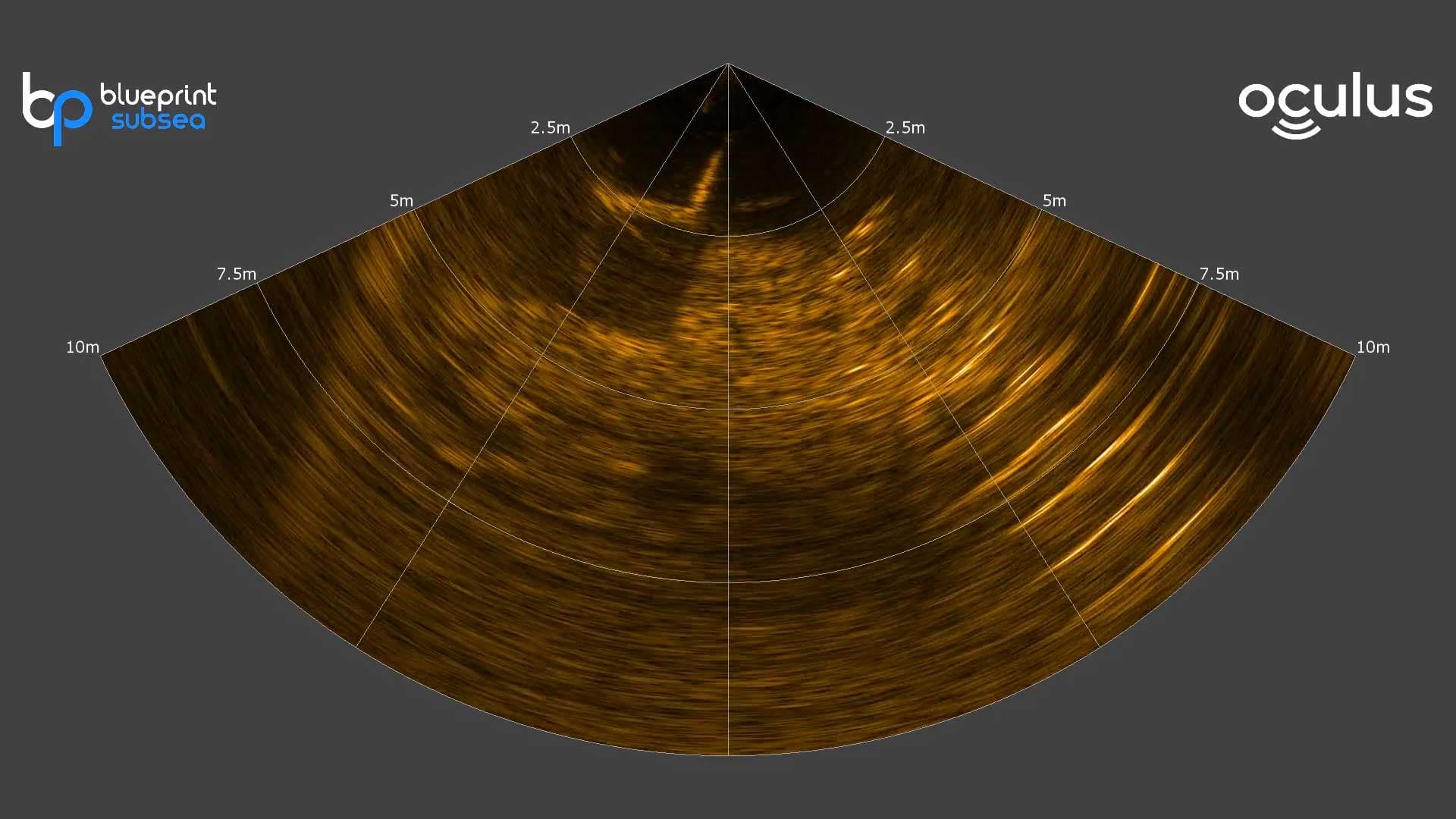
The M370s multibeam imaging sonar conveniently mounts to our ROVs or Utility Crawlers for effective target identification in turbid waters. The M370's low frequency allows for an operating distance up to 200m for extended visuals.
Kunne ikke legge til vare i pristilbud
Lagt til i tilbudet
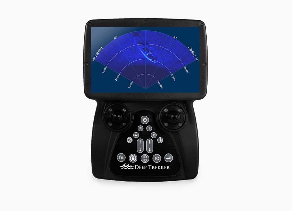
Integrated into controller
0.2m to 200m range
Single frequency mode
Long-range multibeam Imaging Sonar for murky water survey and inspection
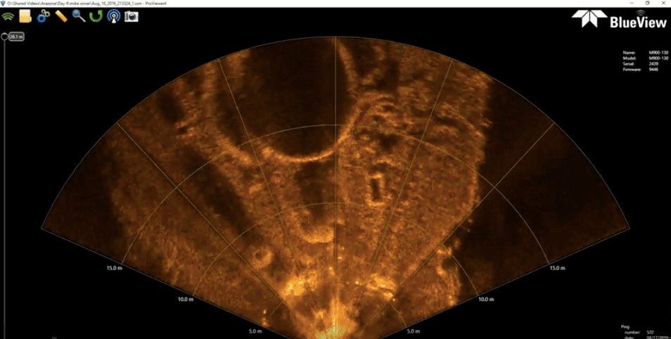
In inspection operations, particularly in murky water applications, it can be difficult to use just a camera to get an understanding of the condition of a structure.
For example, when inspecting the hull of a ship, you want to see if there are any major defects or corrosion, damage to the coating, zincs, anodes, propeller, check the coating condition, check if the hull needs to be cleaned.
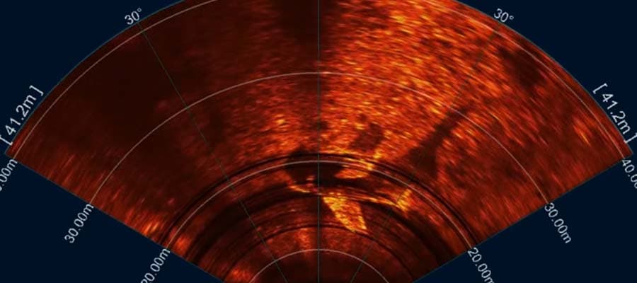
In Search and Recovery operations, First responders looking for evidence or drowning victims typically sweep an area using side scan sonar, identify potential targets and then investigate those targets to see if it is in fact the victim.

Cameras and diver’s eyes often are unable to effectively search due to poor visibility underwater. An imaging sonar is the best tool to then reidentify the target, since oftentimes side scan data does not produce an exact location (so navigating back to the potential target can be difficult). Once the target is reidentified, the sonar can be used to continue to track the target as you move closer, and when you get close enough, it can even be used to perform the visual verification.

Vi bruker informasjonskapsler til å samle inn informasjon om hvordan du bruker nettsiden vår for å tilpasse og gjøre opplevelsen din bedre. For å finne ut mer om hvilke informasjonskapsler vi bruker, se Privacy Policy.


