Configure Now
Varer i handlevognen0
0Varer i handlevognen
Begynn å bygge pakken dinKjøp nå
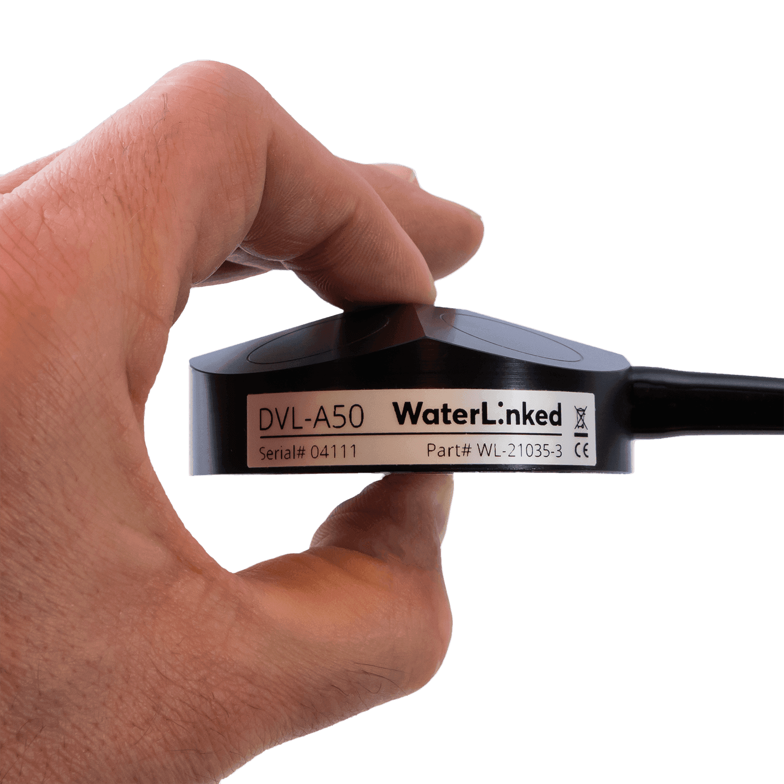
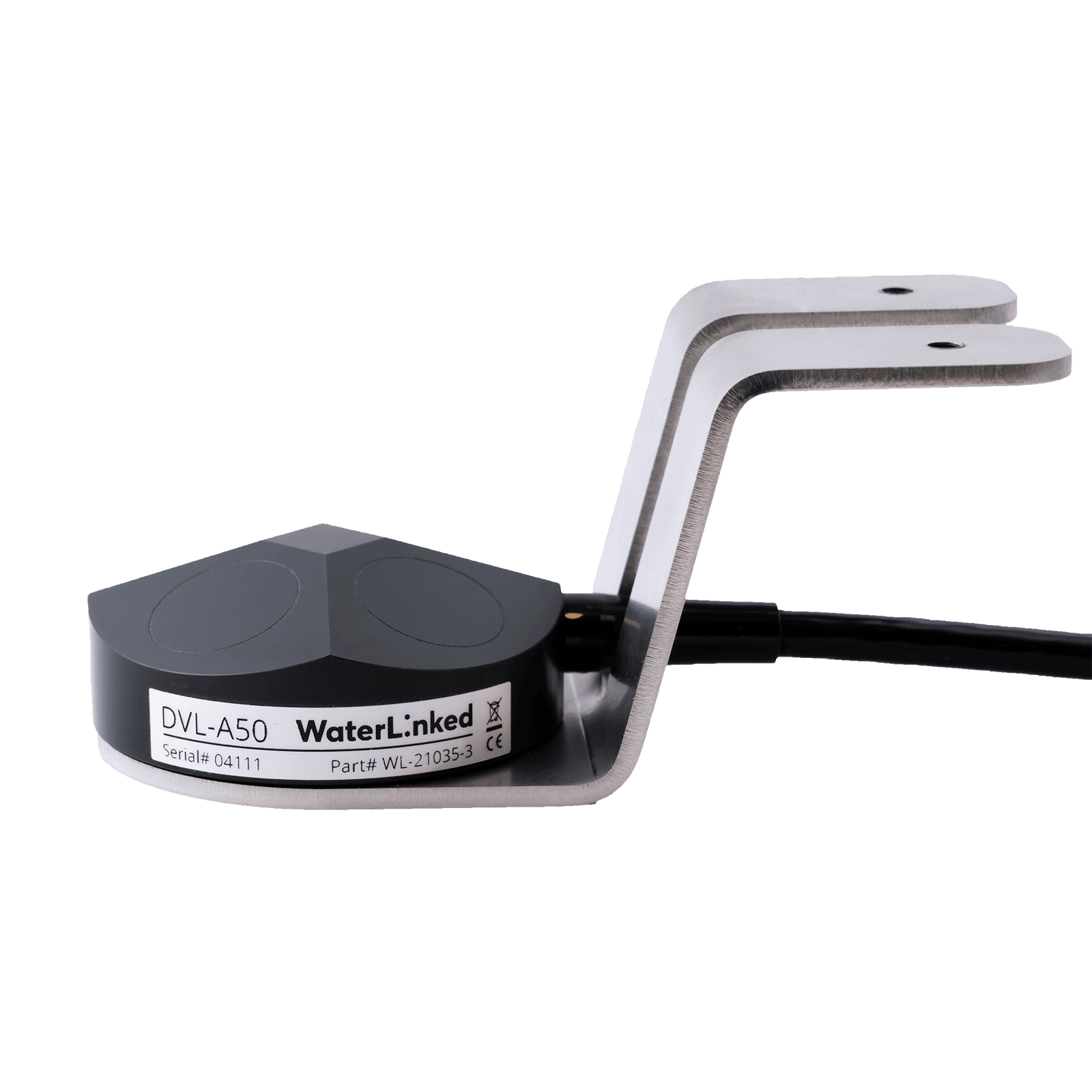
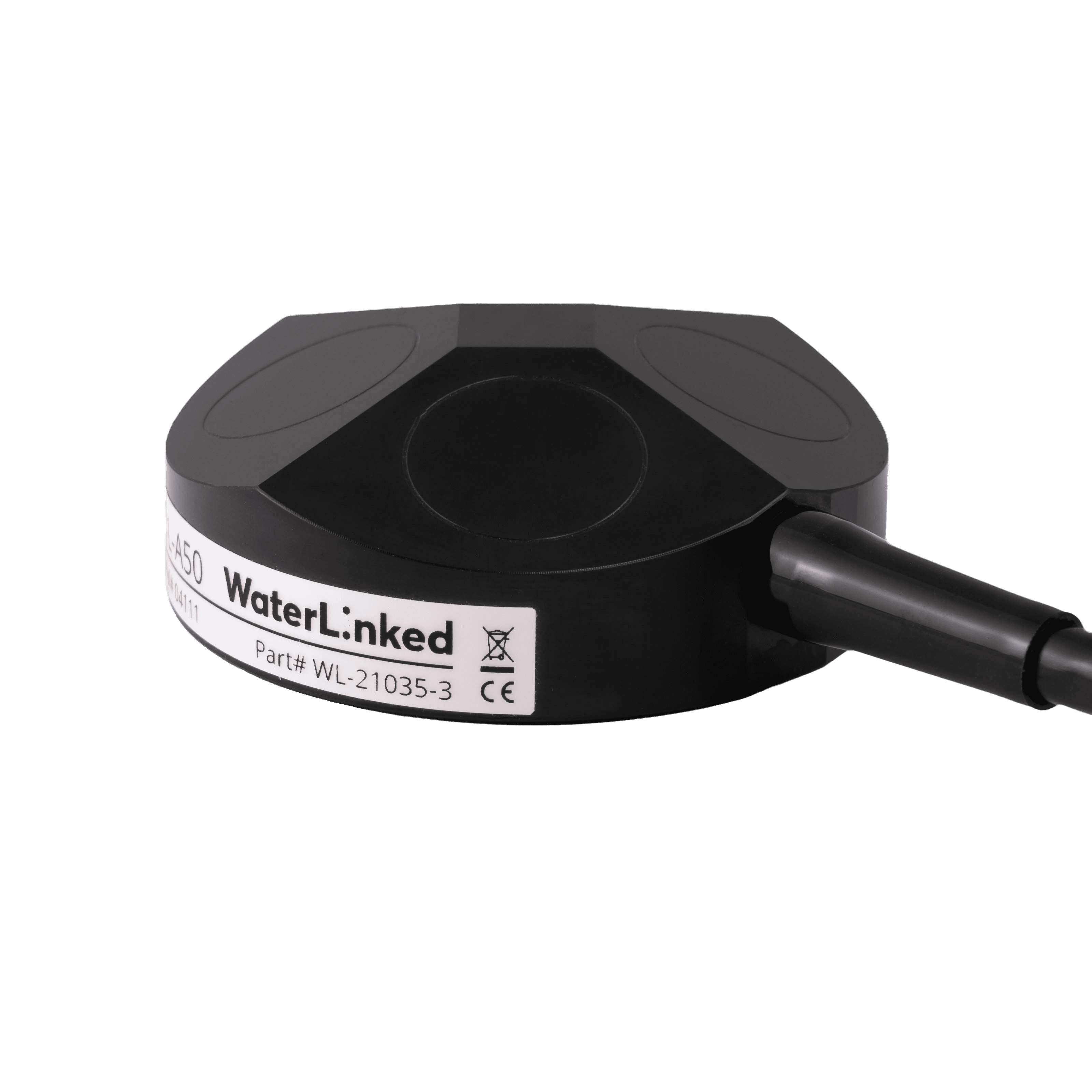
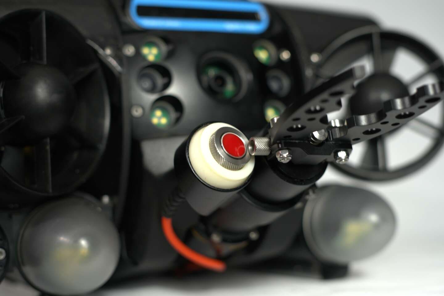
Water Linked A50 DVL provides estimated velocity relative to the seafloor using acoustic waves from four transducers. In combination with Deep Trekker BRIDGE sensor technology, greatly improve the ability to determine speed, heading as well as automated station holding.
Kunne ikke legge til vare i pristilbud
Lagt til i tilbudet
0.05 - 50m altitude
USBL
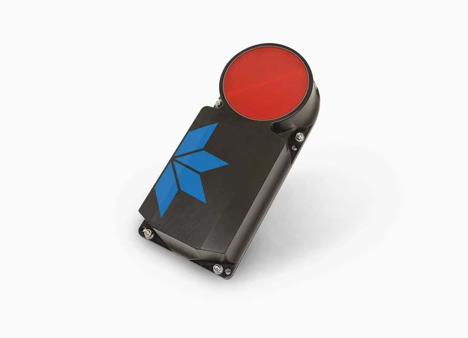
Station keeping
Better navigation in current
Auto altitude holding mode
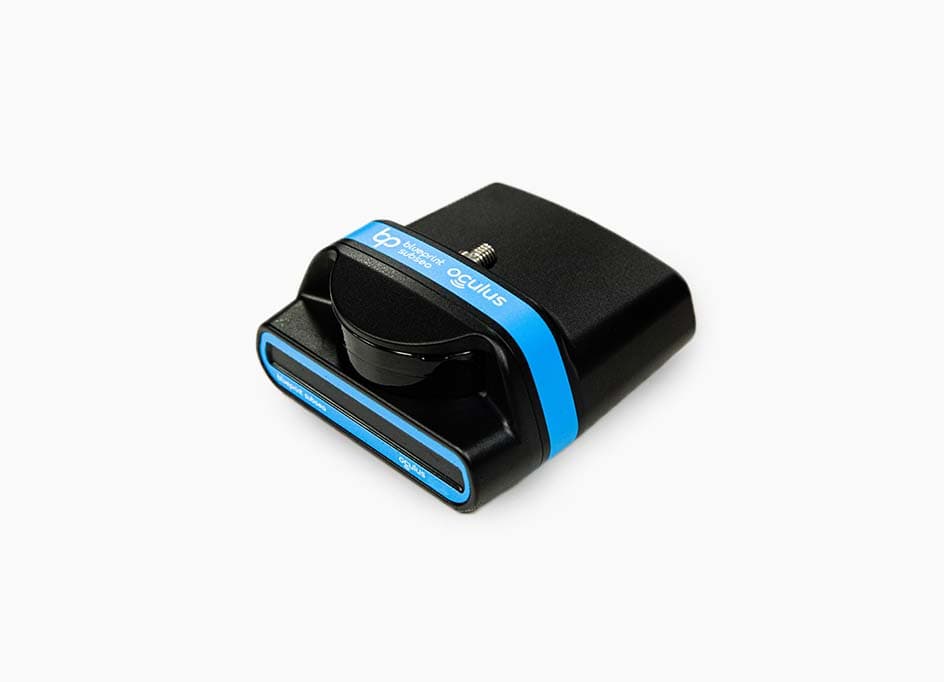
Doppler velocity log ROV attachment for stabilization and autonomy
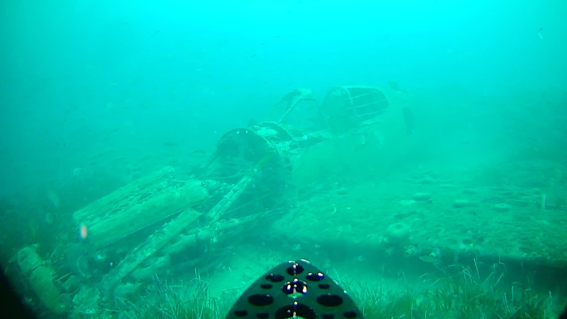
In search and recovery missions, the DVL plays a crucial role in maintaining an optimal altitude for the imaging sonar. For instance, it ensures the sonar remains at a precise depth, such as 15 meters, with the sonar oriented at a 15-degree angle downward. This configuration enhances the effectiveness of the sonar in capturing detailed images during underwater search operations.
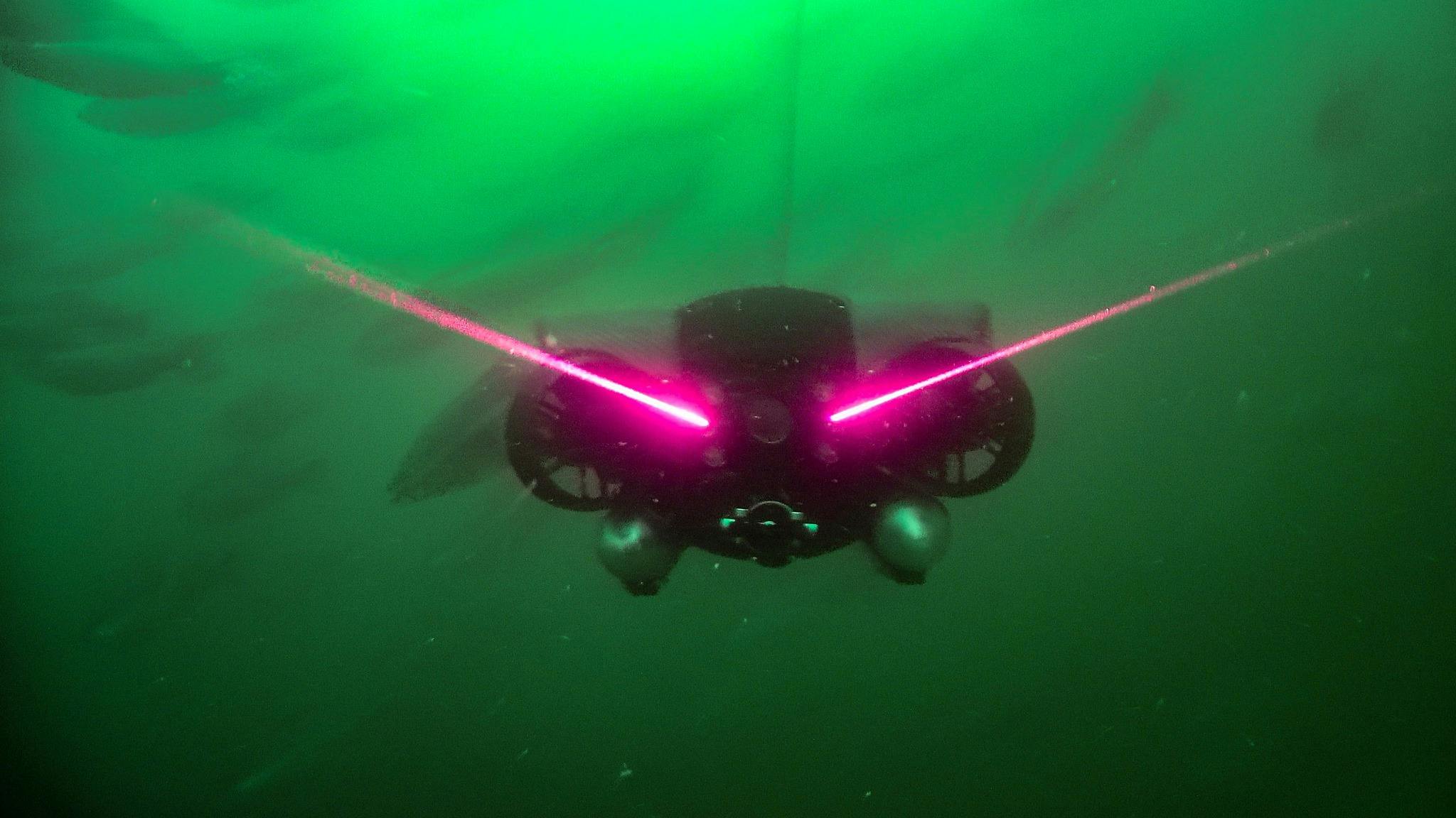
The DVL is instrumental in maintaining precise positions during various operations. Whether conducting inspections against a current, deploying a manipulator, or using a laser scanner, the DVL aids in achieving steady and controlled ROV positioning. This capability ensures optimal conditions for detailed inspections and intricate tasks, enhancing overall operational efficiency and accuracy.
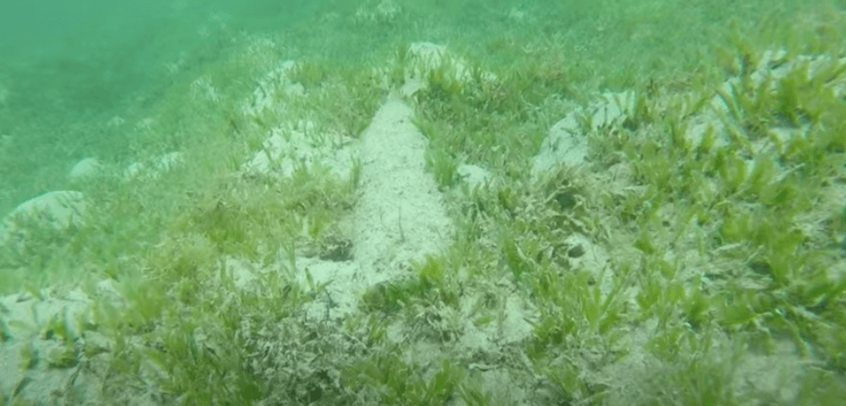
Employing a DVL on the ROV facilitates automatic altitude hold, ensuring course stability in currents and maintaining a consistent altitude above the seafloor. This feature is particularly crucial for benthic surveys, as it prevents collisions with the seafloor and minimizes sediment disturbance. The result is a clearer and more effective benthic survey, optimizing data collection and survey outcomes.
Vi bruker informasjonskapsler til å samle inn informasjon om hvordan du bruker nettsiden vår for å tilpasse og gjøre opplevelsen din bedre. For å finne ut mer om hvilke informasjonskapsler vi bruker, se Privacy Policy.