Configure Now
Items in Your Cart0
0Items in Your Cart
Start building your packageShop Now
Error adding item to quote
Added to quote
Real Time 3D Imaging
Detailed API for Third Party Integrations
2D & 3D Capabilities
Web Based GUI
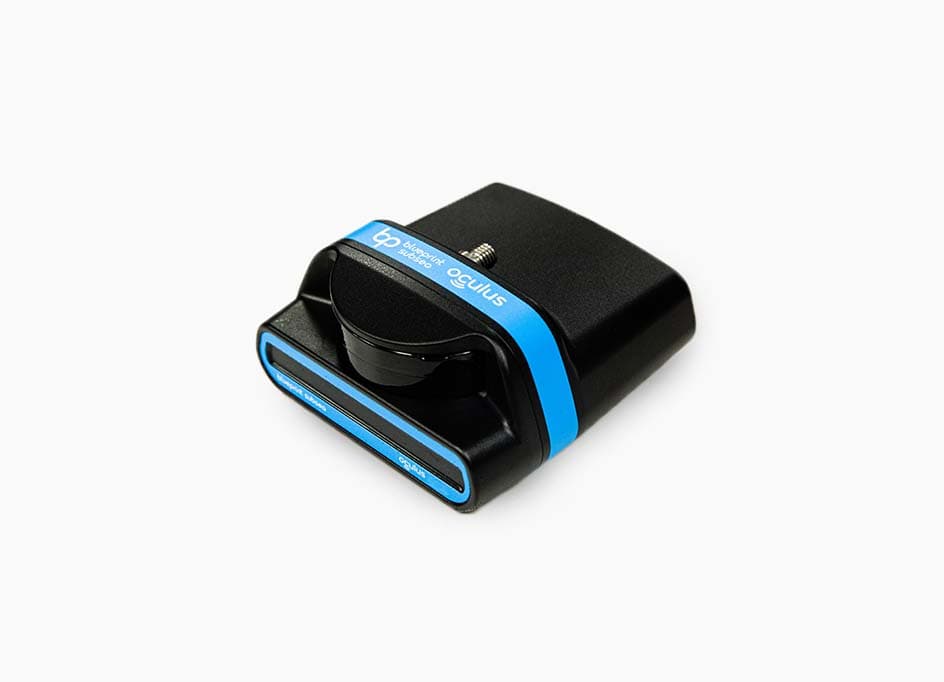
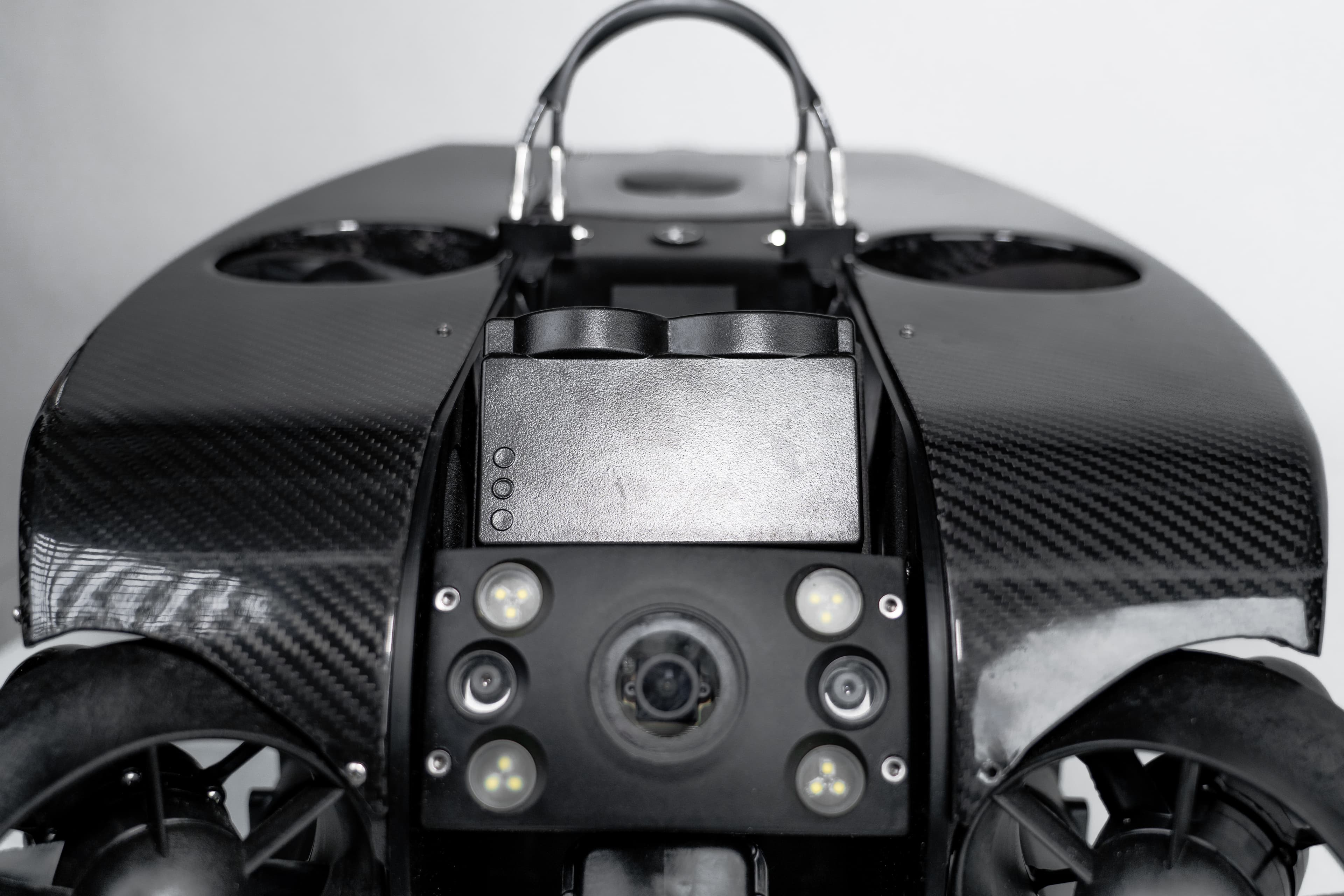
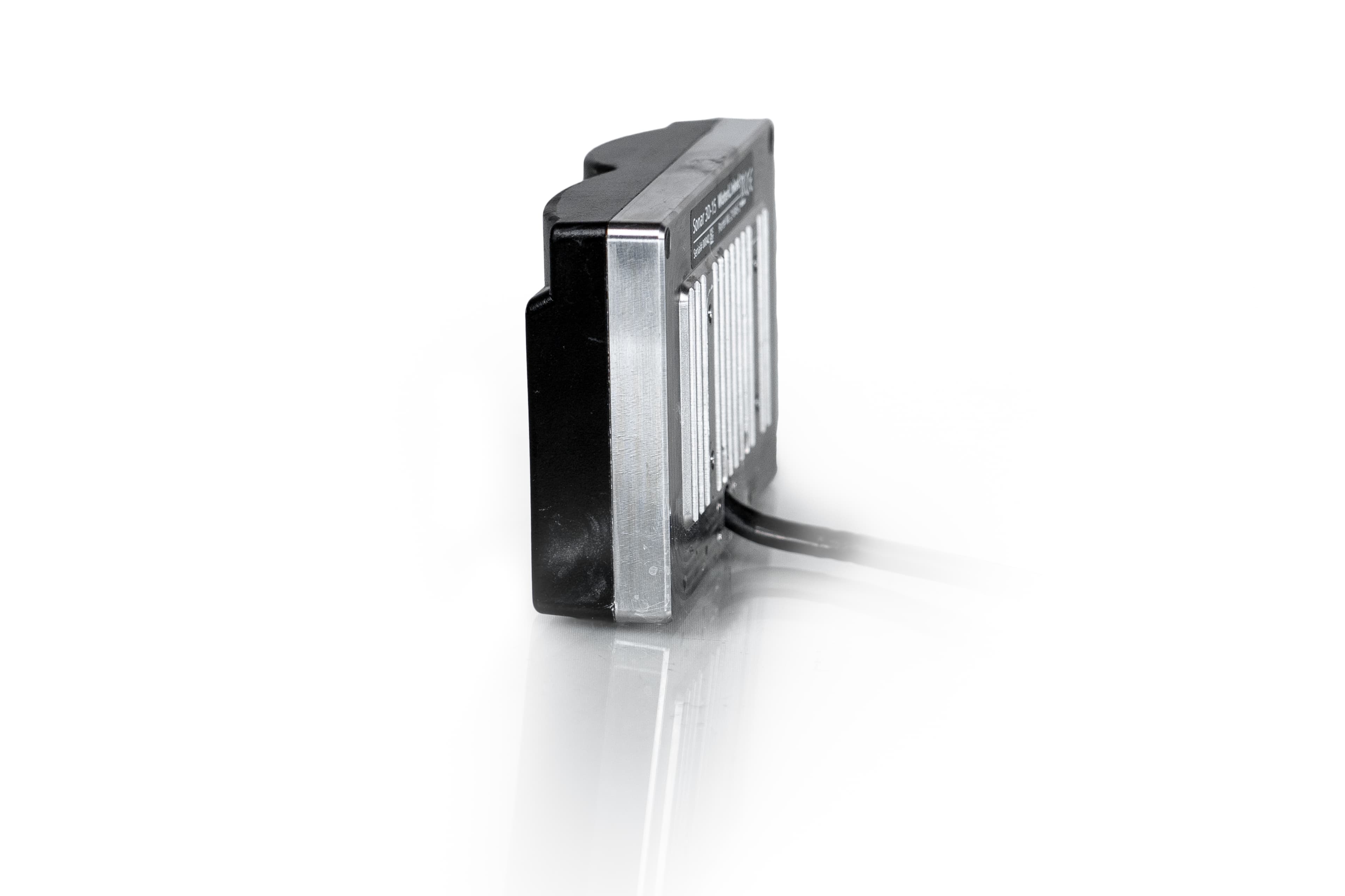
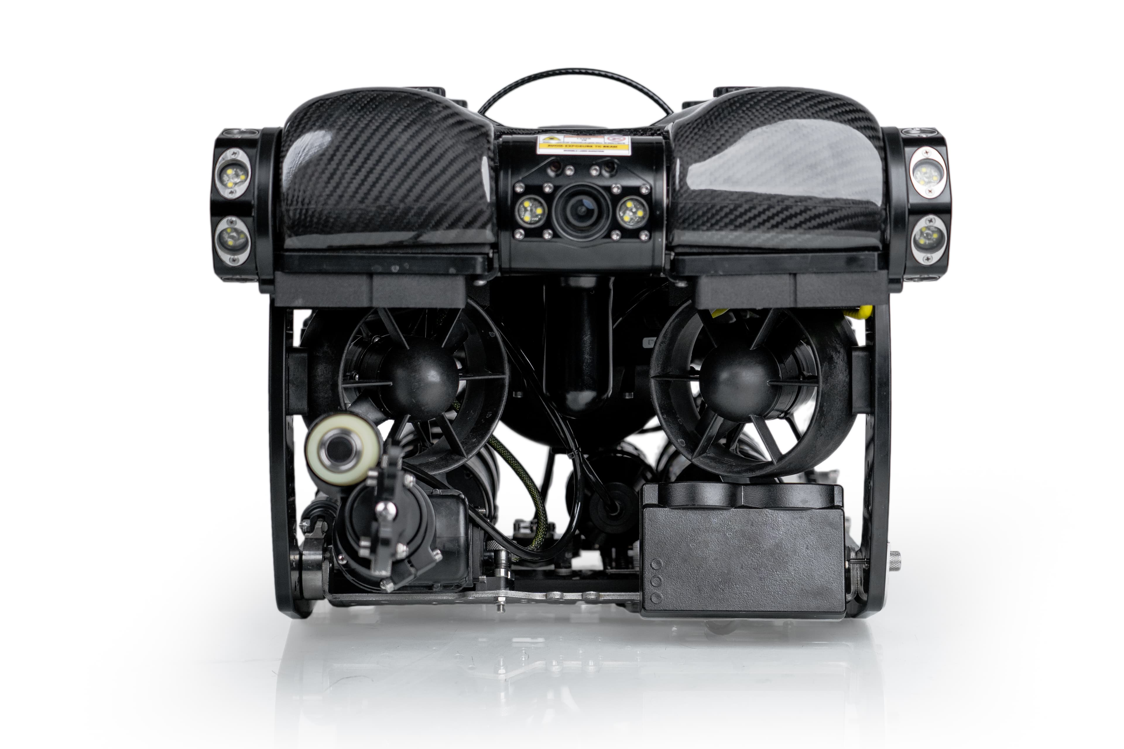
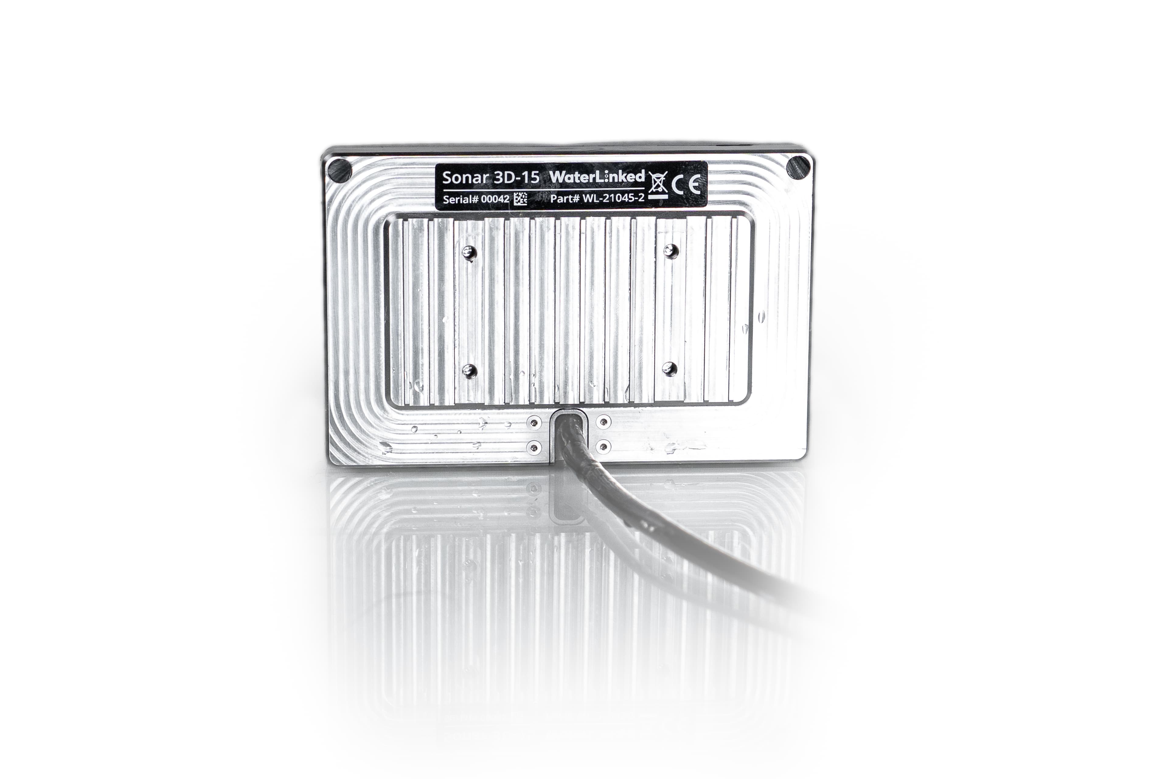
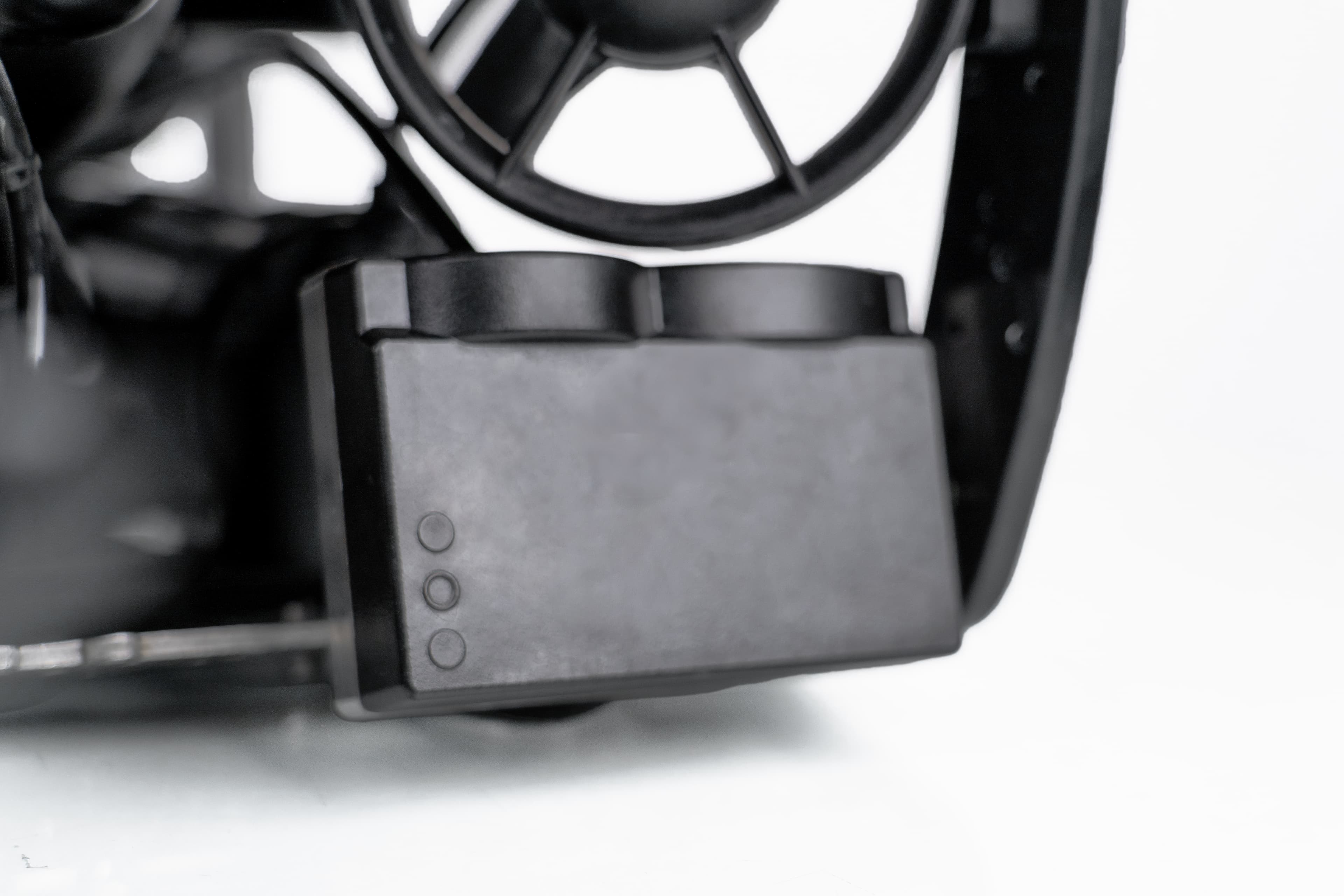
The Waterlinked 3D SONAR provides users with a real-time 3D point cloud of their surroundings. This can help with situational awareness by adding a layer of depth to the user’s field of view when navigating a space. Users can utilize Waterlinked’s native software on their computer to view the point cloud in real-time by obtaining the SONAR IP address from the BRIDGE Controller. The SONAR integrates with both the REVOLUTION & PIVOT ROV.

We use cookies to collect information about how you interact with our website to improve and customize your experience. To find out more about the cookies we use, see our Privacy Policy.