Natural England’s Use of the ROV for Marine Protected Area Monitoring
Supporting Marine Protected Area Assessments
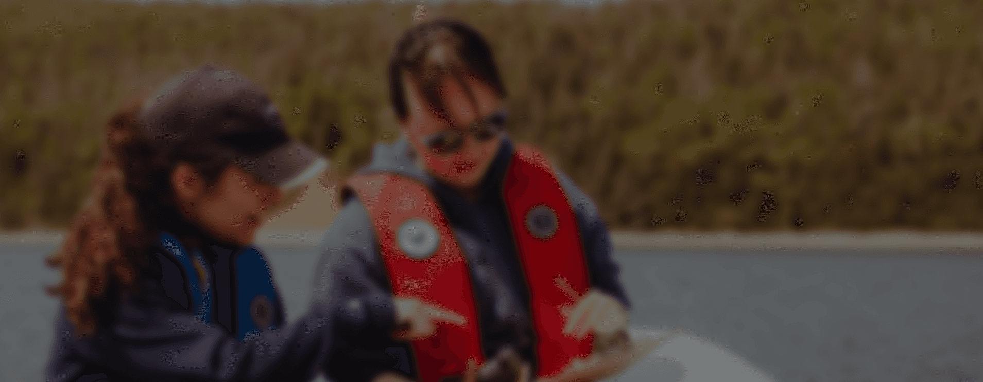
Natural England is responsible for monitoring and assessing the condition of England’s Marine Protected Areas to ensure habitats remain in favorable condition. As part of their approach, the team uses the Deep Trekker ROV to support environmental surveys and habitat mapping.
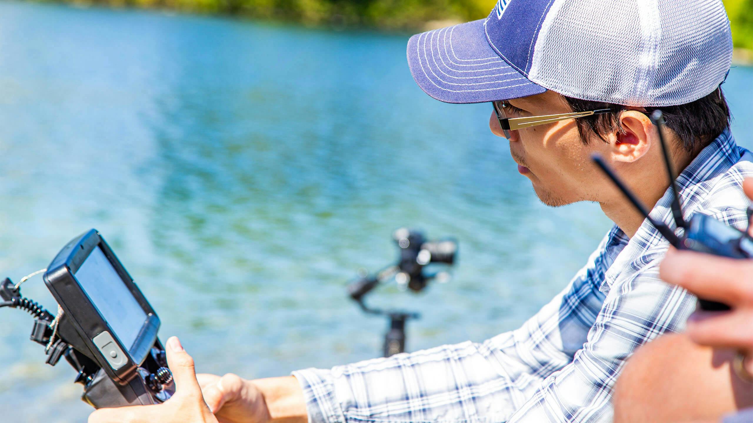
Meg illustrates how the ROV provides flexibility for validating areas of interest identified during acoustic surveys.
“We see the ROV as a complementary tool that works alongside our existing methodology, enhancing and aiding our data collection and monitoring efforts. It helps bridge the gap between diver-based surveys and broad-scale vessel mapping, allowing us to validate specific areas and make more informed decisions about when diver deployment is necessary.”
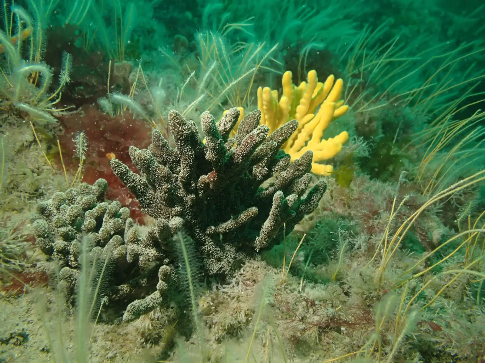
Sponges, Bideford to Foreland Point MCZ. Credit © Natural England, Angela Gall
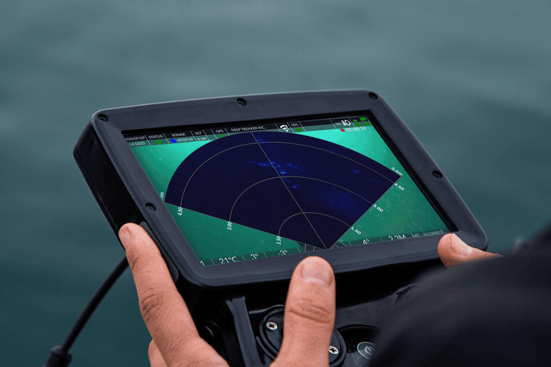
The ROV is regularly used for ground-truthing habitats and pre-dive checks, providing live video feedback and reducing risks in challenging conditions. Its compact size and portability allow deployment in remote locations where larger equipment is impractical.
Mackenzie Normandeau, Account Executive at Deep Trekker, explains how the ROV fits into common environmental workflows:
“We’ve had people use it after a side-scan sonar run to narrow down areas of interest or to inspect a target that they weren’t able to confirm from the sonar. I’ve also seen folks use it for object detection and light retrievals - marine debris, sensors, or ghost gear that needs to come out of the water.”
Habitat Types and MPAs Surveyed
Natural England’s Deep Trekker ROV supports the survey of diverse habitat types including:
Rocky Reefs and Sedimentary Habitats
The ROV is often used to survey rocky reef ecosystems, which are critical for supporting marine life such as fish, crustaceans, and invertebrates. Rocky reefs provide shelter and food sources for a variety of species, making them a focus of conservation efforts in many MPAs. The ROV can precisely navigate rocky outcrops, capturing detailed footage of reef structure, flora, and fauna.
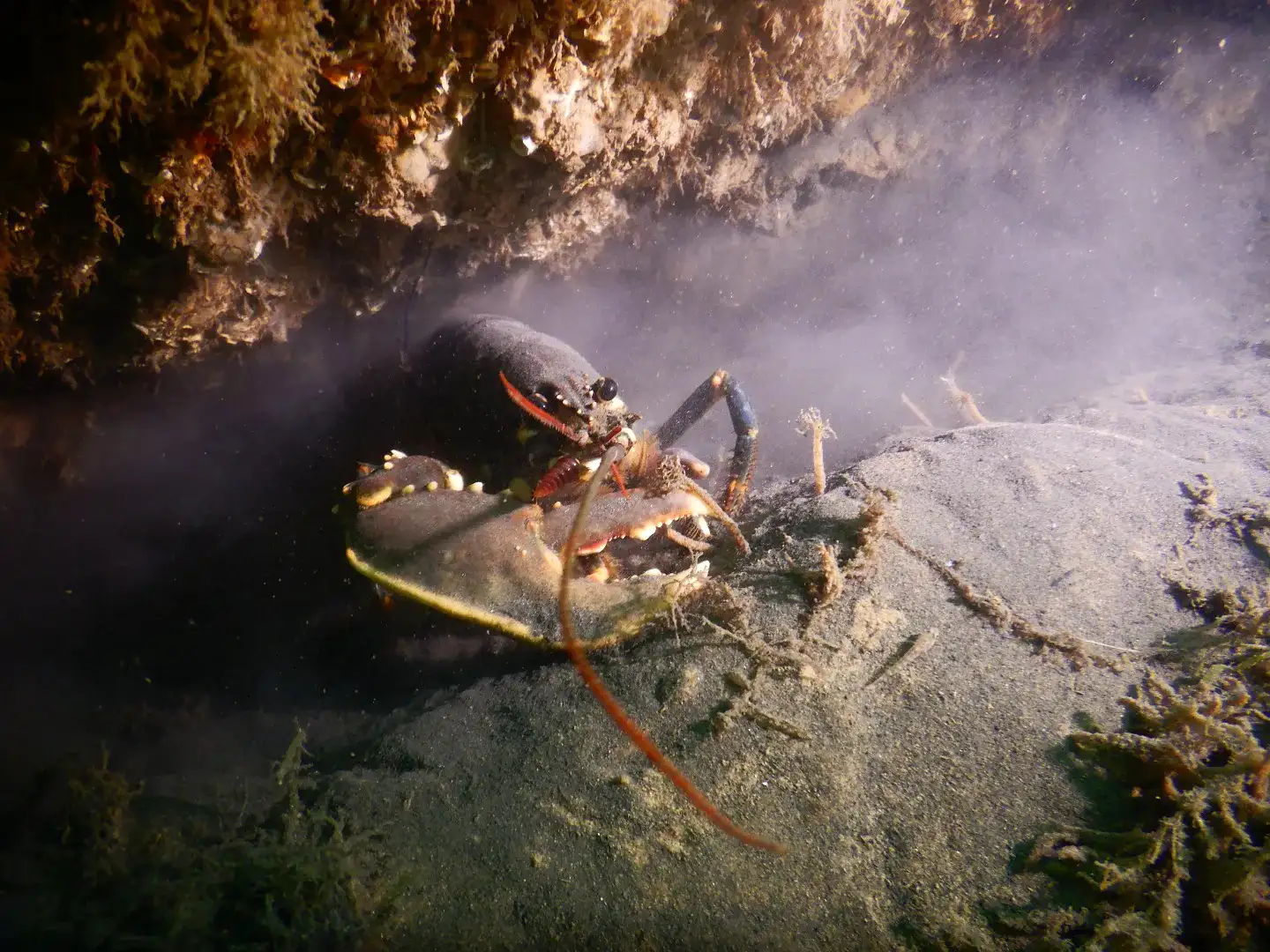
European Lobster Homarus gammarus on the wreck of the SS Rosalie within the Cromer Shoal Chalk Beds MCZ-Credit © Natural England, Sophie Sparrow
Sedimentary habitats, including sandbanks and mudflats, are also surveyed using the ROV. These areas are important for benthic organisms (such as worms, mollusks, and other invertebrates) and serve as feeding grounds for many fish species. The ROVs maneuverability allows it to navigate through different types of sediment, capturing footage that helps assess the health of these habitats and identify any potential threats, such as sediment disturbance or pollution.
Seagrass Beds
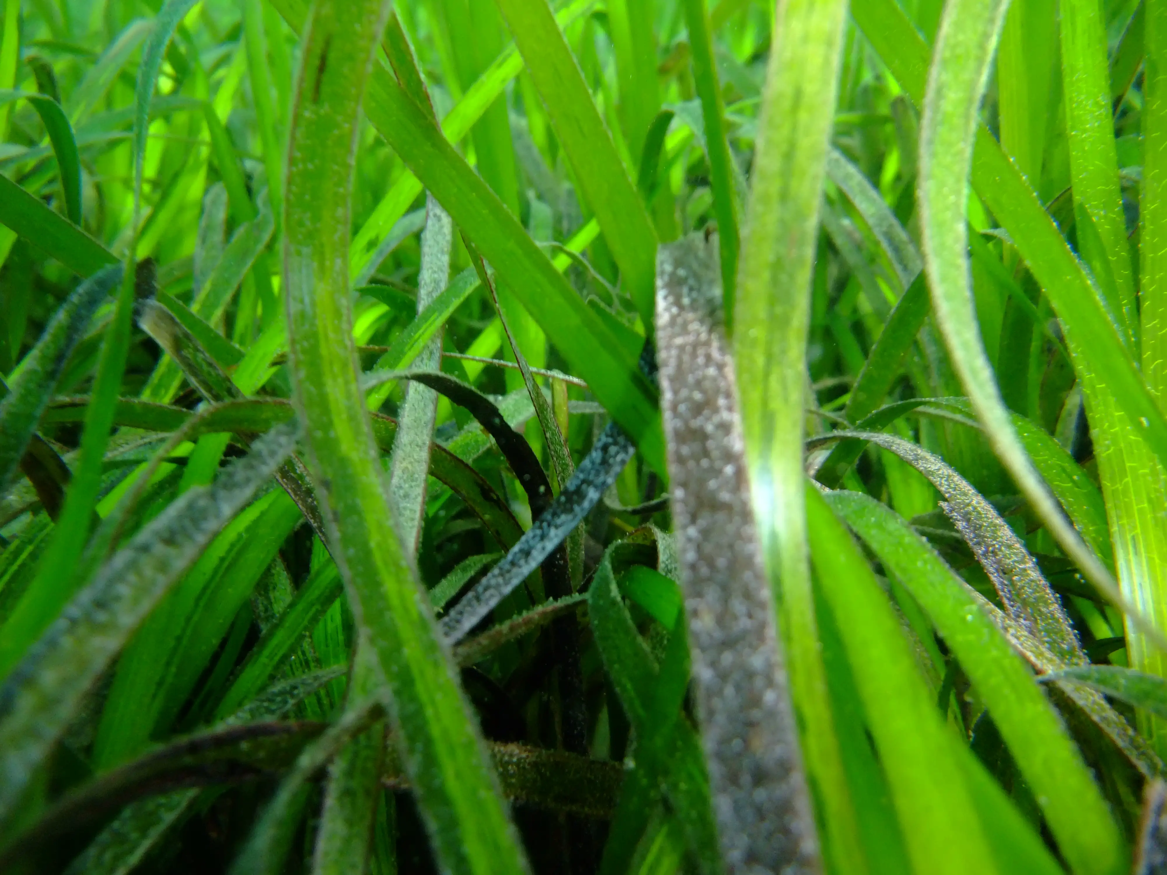
Seagrass meadow in the Isles of Scilly-Credit © Natural England, Emily Priestly
Seagrass meadows are among the most productive and valuable ecosystems in coastal waters, providing numerous ecosystem services such as carbon sequestration, water filtration, and habitat for juvenile fish. They are, however, highly susceptible to degradation from human activities, such as anchoring, trawling, and coastal development. The ROV’s high-definition video footage provides Natural England with the means to monitor seagrass health, identify changes in coverage or structure, and assess threats to these vital ecosystems.
The ROV’s ability to collect real-time visual data allows the team to evaluate seagrass density, coverage, and species composition, providing insights into the broader health of the ecosystem. This data is critical for maintaining the integrity of MPAs and for ensuring that conservation actions are appropriately focused.
Expanding Monitoring Capabilities
“We often get asked to confirm where there are seagrass beds, and the ROV’s good for that because you can get low and see the structure properly.”
Seagrass meadows, recognized for their importance in carbon sequestration and as fish nurseries, are also monitored. The ROV allows the team to gather footage of these sensitive habitats while minimizing physical disturbance.
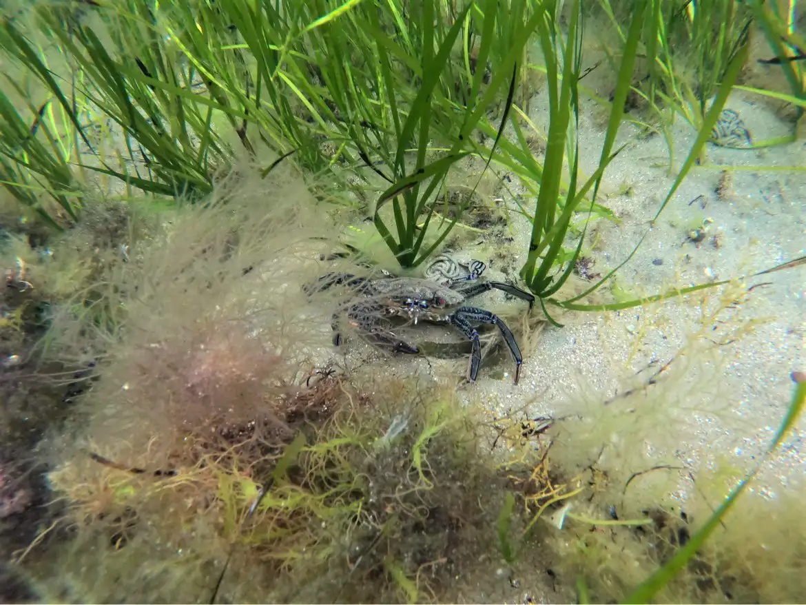
Velvet swimming crab (Necora puber) in seagrass beds, Bembridge MCZ, Isle of Wight. Credit: © Natural England/ Caitlin Napleton
Additionally, sedimentary environments such as mudflats and sandbanks are surveyed to assess changes due to natural processes or human activities. Footage from the ROV informs condition assessments required under national conservation objectives and contributes to England’s MPA monitoring program.