Skip to Main Content
1-519-342-3177Locate a Reseller
Back to Resources

Celebrating Geography Awareness Week 2022

What is Geography Awareness Week?

Geography Awareness Week happens every third week of November. This year, Geography Awareness Week 2022 will be from November 14 - 18th. The week was created over 25 years ago by National Geographic to raise awareness about the study of geography and improve geo literacy among people of all ages. Also, it aims to encourage people to go exploring and think about geography’s significance on their routines, as well as how humans and the environment both influence each other. Overall, the week’s goal is to bring people together to learn and remove gaps in knowledge about the fascinating field of geography.

What is Geography?

Geography is the study of understanding both people's and the environment's connection and relationship to each other. The field encompasses how the features of physical areas influence human activities including use and access of resources, cuisine and where humans live. As well, geography includes how the environment is influenced and changed by human actions.

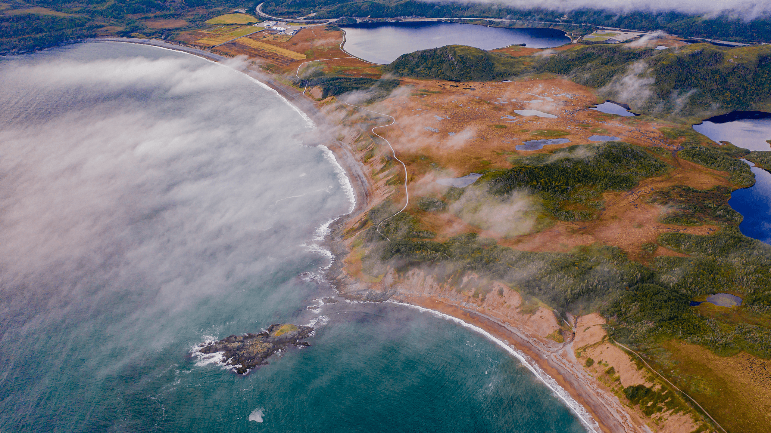
Geography is divided into three branches: physical, environmental and human geography. Physical geography involves studying the planet’s natural features like the weather, soil, water cycles, mountains and icebergs; both above and below the earth. Environmental geography attempts to understand how human spatial patterns impact and are impacted by the planet, as well as how human interactions have changed over time. Human geography concentrates on understanding people including analyzing distributions of populations, the activities and organizations of people in different locations. Within geography, there are many other types of fields that shape and are shaped by it, such as demographics, ecology, climatology, trade, cultural anthropology and many more.

Aerial Chile Landscape

Why is Geography Important?

The study of geography matters as it allows people to understand their influence on the planet. Geography lets anyone understand how the environment may have shaped their culture and daily activities such as what they may eat or how they may dress. Additionally, it helps people understand how their actions affect the world around them.

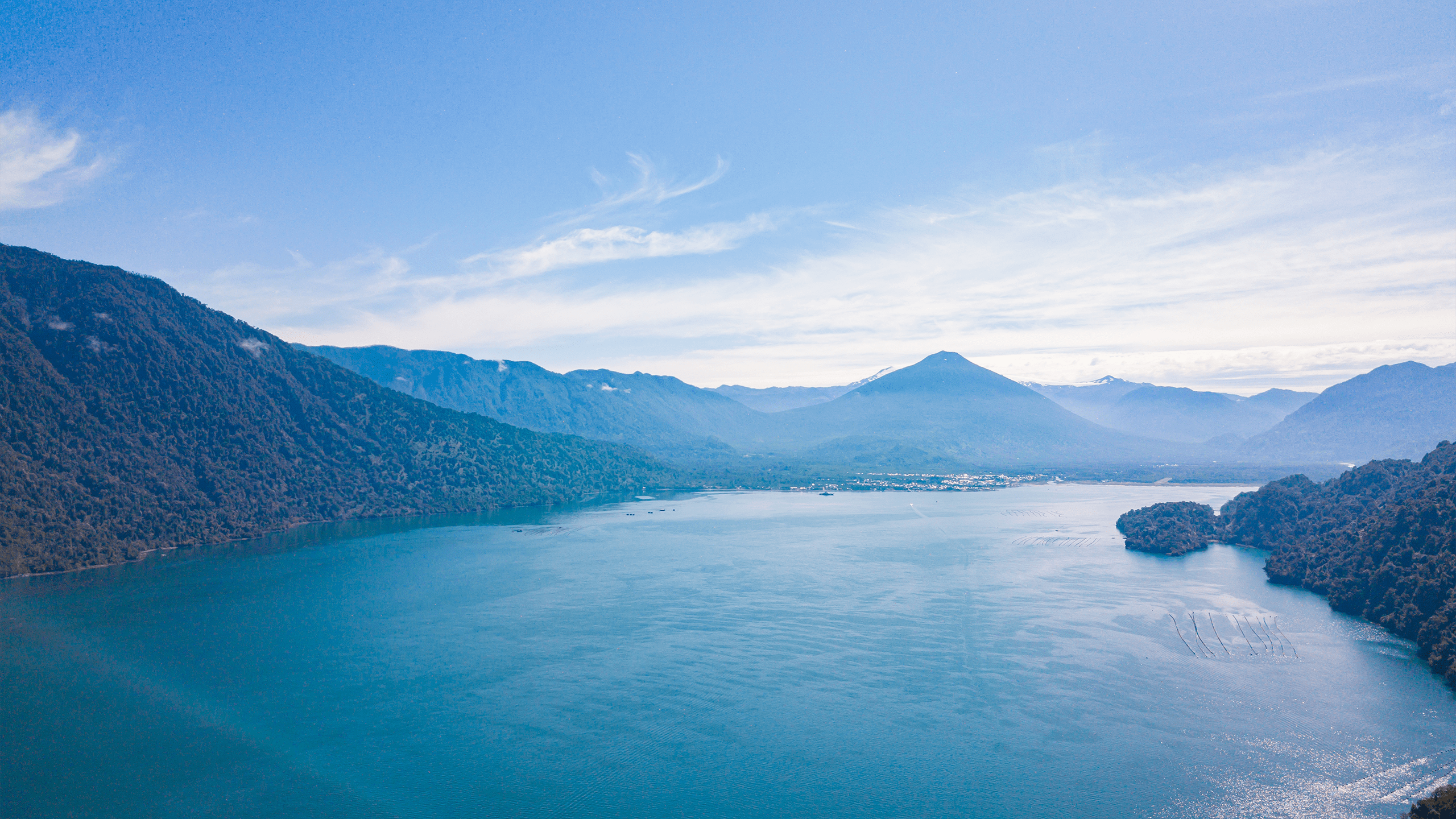
Also, the field of geography is important for understanding pressing environmental issues that are affecting people today, such as climate change. Looking at climate change from a geographical lens allows scientists to examine the problem thoroughly. For example, it helps to understand how humans are influencing the crisis, identify mitigation strategies and predict how climate change will alter both the environment and the human population.

What is GIS Day

Every year, GIS Day occurs alongside Geography Awareness Week. GIS Day 2022 will take place on November 16th. The day is about recognizing and celebrating the technology of Geographic Information Systems (GIS) and those involved in or progressing the field. It focuses on educating people how to use GIS, its significance and real-world applications.

Geographic Information Systems (GIS) is designed to store, manage, display and examine data. The basic principle is to utilize a GIS software to build a map from data to analyze for any valuable information. For example, GIS can be used to create maps showing average incomes, ages or climate distributions in a certain country or over the world. GIS is valuable to the study of geography as it is a useful tool to examine the relationships between humans and the environment. The technology is important as creating a map from data allows for thousands of issues to be analyzed.

Map

How to Actively Participate in Geography Awareness Week

Here are some ideas to get involved in Geography Awareness Week 2022 and improve your geo-literacy:

Learn GIS

If you have ever had an interest in how to make maps, GIS offers you the chance to. Geographic Information System softwares are not hard to learn depending on what you want to learn. For example, learning skills like importing and overlaying data layers may take less time and practice, then learning spatial analysis tools or inputting your own data. Additionally, when learning GIS it is essential to teach yourself the theorical concepts such as the types of maps, projections and their distortions, as well as how to recognize good quality data. The best software for a novice to learn GIS is QGIS as it is free and there are tons of guides online to teach you.

GIS is a valuable skill as it is applicable to many different industries such as planning, environment, business and policymaking. As well, it can help build other skills in problem solving, analysis and visual communication.

Explore New Places

Celebrate Geography Awareness Week by adventuring to a spot that you have never visited before like a park, trail or lake. This place could be somewhere within your city or a different region or country. While you are exploring, try noting the characteristics of the location like the climate, composition of species, types of rocks or any other physical features.

If you are in a location far from your house, try immersing yourself in the culture too, through trying new food, visiting museums, listening to local music or going during a time of local festivities.

Alternatively, if you don’t want to go outside and explore, try watching a documentary on a particular geographical area or research it.

Geocache or Earthcache

If you don’t want to randomly explore, geocaching or earthcaching provide a more structured way to adventure.

Geocaching utilizes any device with Global Positioning System (GPS) to find treasures (known as caches) hidden in a certain outdoor location. To start caching, sign up on geocaching.com. After creating an account, you can find the coordinates of a cache close to you. When you have discovered the treasure make sure you return the box and if you take an object, replace it with something else.

Earthcaching is a type of geocaching. However, it is different as it involves finding a cache to learn about a certain geological topic. Earthcaching locations can be also be found on geocaching.com.

Geocache Box

Adopt and Engage in Environmentally Conscious Practices

Another great way to get involved in Geography Week is implementing environment friendly routines. Adopting sustainable practices can help you to understand your impact and relationship to the planet such as your carbon footprint. Some eco-conscious routines to use this week and beyond include practicing the 5 Rs: Reduce, Reuse, Recycle, Refuse and Repurpose, limiting use of single-use plastic and walking instead of taking the car. Additionally, creating your own or participating in litter clean-ups, building pollinator gardens or tree planting are other ways to become an environmentalist and explore the geography around you.

Teach People About Geography

Educating others about the study of geography is essential to actively engaging in Geography Week. The topics to discuss could be the different types of geography, GIS, a place on the earth, or any newly learned facts about the field of geography. This knowledge could be shared with anyone including friends, family, school mates or co-workers. Ultimately, this is a great action to take as one of Geography Awareness Week’s goals is to help solve the lack of knowledge revolving around the study of geography and improve geo-literacy.

How ROVs are Beneficial to Geography Week

Underwater Discovery

Remotely Operated Vehicles (ROVs) are a useful tool to help explore new underwater areas. They can be used to search a variety of underwater environments including coral reefs, kelp forests or groves. As well, the vehicles can examine underwater features like rocks, underwater structures and aquatic species.

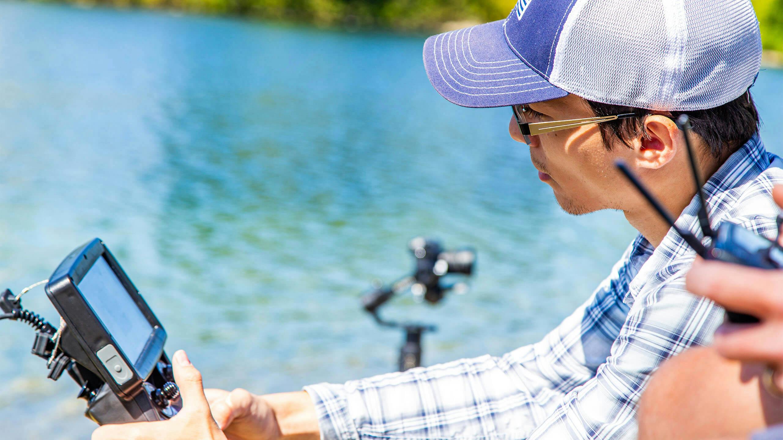
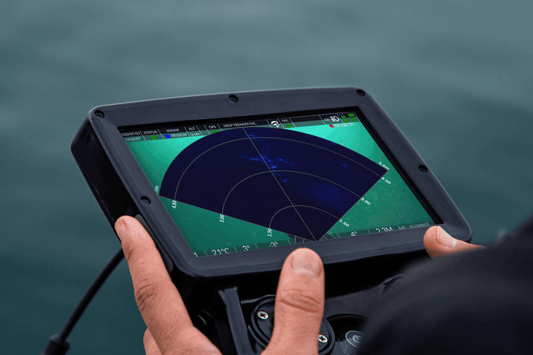
The robots help keep divers safe as the technology can examine hard to reach/dangerous places. Also, ROVs allow people to explore the water bodies without having to go in. When adventuring, the vehicles can record high-quality videos and photographs of underwater adventures to create a video with.

Research

Currently, ROVs are helping to provide valuable data to academic studies that are investigating the effects of climate change in different regions. These vehicles can give researchers valuable insight into to what is occurring below the water. For example, ROVs aided Kenneth H Dunton, a Professor from the Department of Marine Science at the University of Texas at Austin, by pulling trawls in the water from underneath the ice for a Long Term Ecological Research study.

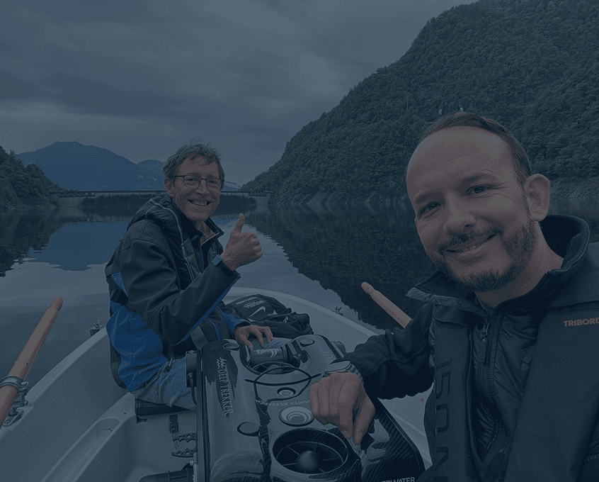
Also, ROVs can be equipped with various add-ons to enhance research abilities. For instance Homa Kheyrollah Pour assistant professor at Wilfrid Laurier University's Department of Geography and Environmental Studies has utilized a ROV to examine how climate change is affecting ice on Arctic Lakes. The vehicle was able to gather critical data through helping the team collect water and sediment samples, and temperature readings.

Talk to Us About Finding a ROV for Your Geographical Adventures and Activities

Education

ROVs have been improving the ability to teach geography as they allow teachers to demonstrate classroom concepts in a real-life application. These robots allow students to explore the underwater environment and conduct surveys. For example, the educational organization, The Ocean Institute uses a ROV to teach and spark curiosity among students about the ocean. The ROV is used in Sea Floor Explorer program, where children in grades 4-6 use the vehicle to explore the ocean floor and see what they can discover.

Mapping and Geographic Information Systems

ROVs are enhancing the field of GIS and mapping as the underwater robots can collect latitude and longitude coordinates. Using this feature, coordinates can be stored and inputted into a GIS software to create a map of data. As a result, the user can complete spatial analysis of the data if necessary. Some coordinate points that submersible ROVs could collect are the locations of species or underwater objects. Additionally, ROVs can be equipped with sensors to collect data throughout various points in a water body. There are many different sensors available such as water quality, oxygen levels, pH/ORP ammonium or temperature to gather the essential information.

Improving Geographical Activities with Deep Trekker

Deep Trekker offers three ROVs: DTG3 ROV, REVOLUTION ROV and PIVOT ROV made to meet the needs and provide innovative solutions to a wide range of geographical activities. These activities include underwater discovery, educational courses and marine research.

The ROVs are built to be deployed in a variety of underwater conditions such as cold or unpredictable waters, harsh currents and depths up to 1000m (300ft). When exploring, the submersible vehicles are easy to operate and maneuver around these environments. As well, the robots can collect a variety of data at different points in a body of water using sensors like The Multiparameter Water Quality Analysis Sonde or The Dissolved Oxygen Sensor Kit.

If you are looking for a ROV to add to your geographical operations, the team at Deep Trekker is happy to help find the right fit, contact us today!

November 17 – 23rd is Geography Awareness Week, a week dedicated to everyone being an explorer in their own way, whether it is exploring your community or an area you've never been before. Take a moment to think outside of your comfort zone of where you could go exploring.

Aerial Landscape Newfoundland

Everyday someone is diving, snorkeling, free diving, using their GoPro, underwater camera and remotely operated vehicle to find out what is below the water. Yes, many times it is for commercial reasons such as inspecting underwater structures, but even still sit back for a moment and realize how astronomically advanced we have become. We has humans continue to push the boundaries of exploration and continue to uncover more and more mysteries.

This year’s theme of Geography Awareness Week is: Geography and the New Age of Exploration. The title could not be fitting as exploration of our great land, air and water become more advanced. This week alone, we have posted about an ROV that has found a Mangapinna Squid and a Jellyfish Deepstaria. These discoveries sometimes can be misinterpreted to finding a Sea Monster to those unaware of these rarely seen species, but in turn this also engages the everyday person to learn more about the animals that live in our waters.

I hope that you take time this week to go somewhere you’ve never been and share your experiences with us – have you found something neat underwater that’d you like to share? We see a lot of bass in the Great Lakes region here in Southern Ontario, but even those are exponentially cooler when you’re seeing them through the eyes of a Deep Trekker. 

Industry Related Articles

Article Thumbnail

ROV Pilot 101: All You Need to Know

Learn all about remotely operated vehicle pilots: how to become one,...

Article Thumbnail

All You Need to Know about Sonar Systems

Learn more about what sonar is and its many uses. Read...

Article Thumbnail

Using Sonar for Tunnel and Infrastructure Inspections

ROVs and sonar can be used to inspect underwater structures such...

Learn More About Our Products

Looking for Resources on Our ROVs?

See What Our Customers are Saying